What is a plat map?

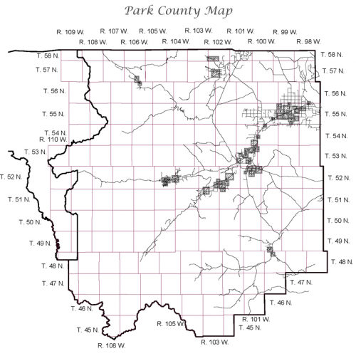
A plat map is a guide to a tract of surveyed land created and maintained by licensed surveyors. They are a blueprint containing detailed property information used by a variety of interested parties.

A plat map is a guide to a tract of surveyed land created and maintained by licensed surveyors. They are a blueprint containing detailed property information used by a variety of interested parties.
